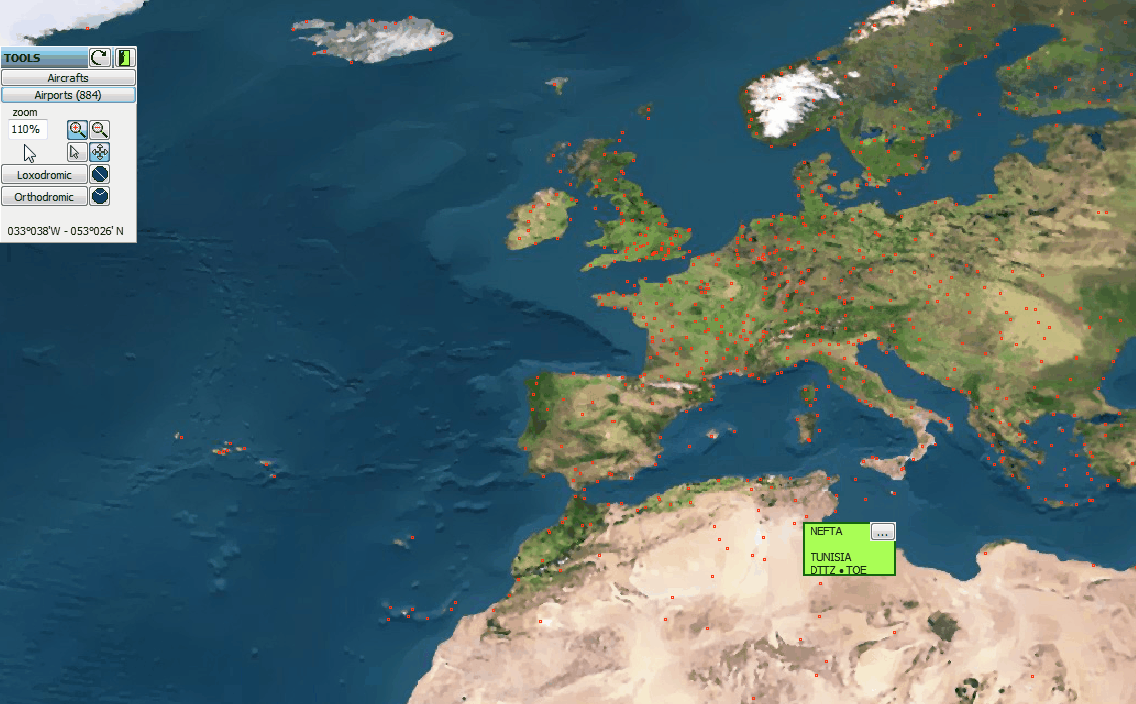
The map viewer module is use to:
- Display real time operational information (note 1) on the fleet position and availability,
- Locate airports by geographical regions,
- Estimate airport distances (orthodromic),
- Obtain the names and contact details of airport's providers (link to the Airport sub-module)
Note 1 : Operational information is only available when AMS is configured to read the real time data sent by:
- Aircraft movements (ex: SITA movements)
- ACARS information
Interfaces between AMS and your operational data providers are specifically designed.